Category Archives: Geographic Information Systems Specialist

Geographic Information Systems Specialist

Geospatial Technology: An Introduction and Overview

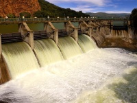
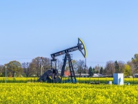
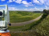
Geospatial technology combines Geographic Information Systems (GIS), remote sensing, and GPS to analyze spatial relationships and environmental patterns. These tools have become essential in environmental science careers, enabling scientists to track climate change, monitor wildlife populations, assess ecosystem health, and plan conservation strategies. Environmental scientists with geospatial skills earn a median salary of $80,060 nationally,…
Read more

Hydroelectric Power 101

Hydroelectric power uses the kinetic energy of moving water to produce electricity. It's the most widely used form of renewable energy, generating 19% of electricity worldwide (1). While large-scale projects have had mixed results in the developing world, when done properly, hydroelectric is a cheap, clean and effective method of producing energy. Hydroelectric Methods Most…
Read more

What is NEPA? Introduction to U.S. Environmental Policy

The National Environmental Policy Act (NEPA), signed into law on January 1, 1970, requires all federal agencies to assess environmental impacts before taking major actions. NEPA established three types of review documents (EIS, EA, and CE), created the Council on Environmental Quality, and gave citizens a voice in federal decision-making through required public participation. The…
Read more

Hydraulic Fracturing: Health Risks, Regulations & Career Impact

Hydraulic fracturing extracts natural gas and oil from deep shale rock by drilling vertically, then horizontally, and pumping high-pressure fluid to fracture the formations. Now producing 67–79% of US natural gas and 50% of crude oil, the technology has transformed American energy independence. However, peer-reviewed research increasingly links fracking operations to elevated childhood cancer rates,…
Read more

Aerial Photography in Environmental Science: A Complete Guide

Aerial photography involves capturing images of the Earth's surface from aircraft, drones, or other elevated platforms. It's used across environmental science—from tracking climate change and mapping vegetation to archaeological surveys and urban planning. Images are taken either obliquely (at an angle) or vertically (straight down), with each method serving different research needs. When paired with…
Read more

GIS in Environmental Science: Principles, Applications, and Career Pathways

Geographic Information Systems (GIS) are specialized software tools that environmental scientists use to visualize, analyze, and interpret spatial data. GIS has become essential across environmental science specializations, enabling professionals to track species migration, model climate patterns, plan conservation efforts, and assess environmental impacts. Most environmental science programs now include GIS training at undergraduate or graduate…
Read more

Is Environmental Science Really a Good Major?

Environmental science is a strong major choice for 2026, with median salaries of $80,060 and projected 4% job growth through 2034. The field combines biology, chemistry, geology, and policy to address real-world environmental challenges, preparing graduates for careers in consulting, government agencies, conservation, and research with approximately 8,500 annual job openings nationwide. When prospective students…
Read more

What We Wish We Had Known before Majoring in Environmental Science

Environmental science students consistently identify four critical areas they wish they'd understood before starting their major: the foundational importance of chemistry across all specializations, the competitive nature of introductory science courses, the long-term value of professional networking from day one, and the significant adjustment required for university-level science education. These insights come from hundreds of…
Read more