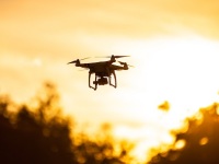
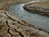
Aerial photography involves capturing images of the Earth's surface from aircraft, drones, or other elevated platforms. It's used across environmental science—from tracking climate change and mapping vegetation to archaeological surveys and urban planning. Images are taken either obliquely (at an angle) or vertically (straight down), with each method serving different research needs. When paired with…
Read moreAerial Photography in Environmental Science: A Complete Guide